

Weather Headlines
- NEXT 9 HOURS: Scattered showers & storms arrive
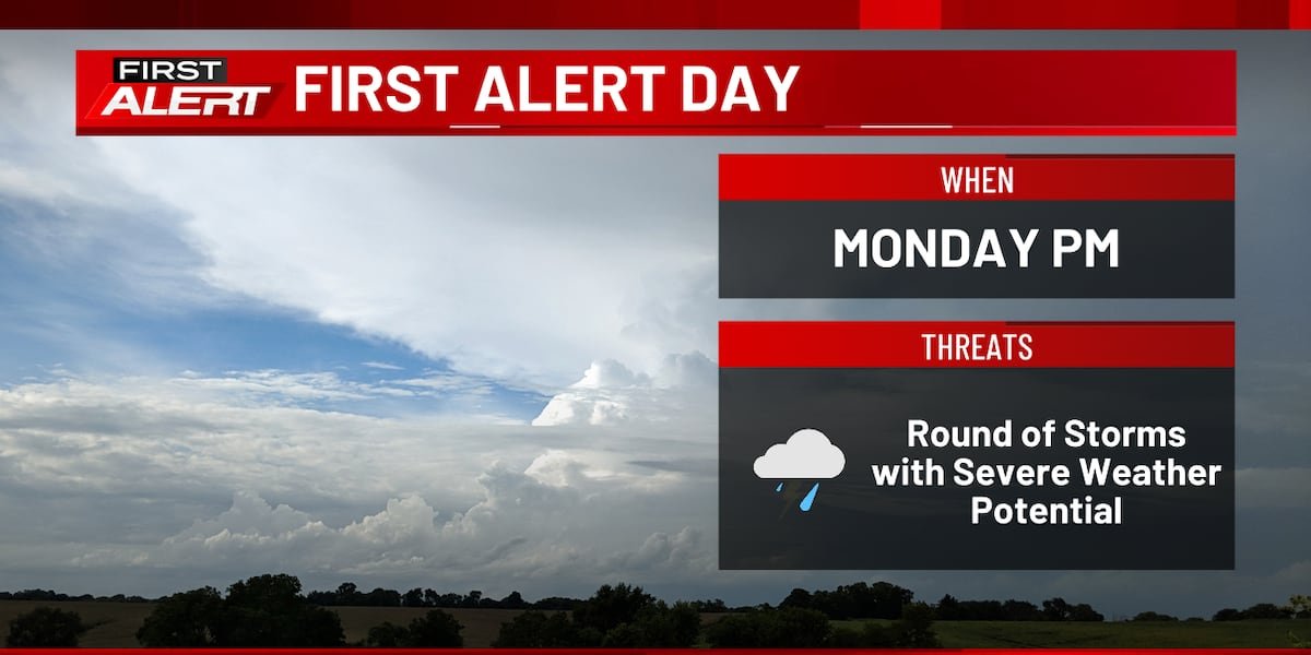
- SHORT TERM: FIRST ALERT: Strong to Severe Storms Monday
- LONG TERM: Cooler and quieter for the remainder of the week
Latest Forecast

(KCRG)
CEDAR RAPIDS, Iowa (KCRG) – Plan on an active start to the work week.
Lows tonight fall into the mid to upper 50s as scattered showers and storms move through. While a few of the stronger storms could contain some gusty winds and hail, widespread severe weather is not expected overnight.
This overnight round of scattered showers and storms continues into Monday morning. We get a break as this activity diminishes during the late morning and early afternoon. This will give the atmosphere the opportunity to recharge itself for the late afternoon and evening round of storms as highs reach the mid 60s to low 70s.
Between 2 and 4 PM, we are expecting storms to redevelop across eastern Iowa. Some of these storms are expected to become strong to severe. Large hail, damaging winds, and tornadoes will all be potential threats early on, but the storms are expected to gradually form into a line as they move east. As this happens, we are excpected to transition to a predominantly straight-line wind threat with the potential for a few spin-up tornadoes within the line of storms. Storms are expected to exit the area between 7 and 9 PM, then the rest of Monday night will bring decreasing clouds and lows in the mid 40s.
With another threat of severe weather upon us, now is a great time to make sure you’re prepared for any severe weather that comes your way. Know what to do and where to go at home, school, and work when severe weather threatens. Go to the basement or the lowest level of the building in an interior closet or bathroom away from windows. Keep your head and neck covered with a pillow, a helmet, or your hands if nothing else is available. Also make sure you have multiple ways to receive warnings. Options include, but are not limited to a NOAA Weather Radio or the KCRG-TV9 First Alert Weather App. In addition, be sure to stay tuned for updates leading up to the onset of storms.
Tuesday through the end of the week will feature cooler and drier weather. Highs reach the 60s with lows ranging from the mid 30s to mid 40s. We are also keeping an eye on the chance for a few scattered showers Thursday afternoon and evening, but these are expected to be on the lighter side.

(KCRG)
Copyright 2026 KCRG. All rights reserved.
See More: https://www.ubirataonline.com.br