

Weather Headlines
- NEXT 9 HOURS: Showers & storms, dangerous heat
- SHORT TERM: Staying hot and muggy
- LONG TERM: A few rain chances
Latest Forecast
CEDAR RAPIDS, Iowa (KCRG) – Showers and storms have moved into northwestern Iowa this morning and will be tracking into eastern Iowa later this morning.

(KCRG)
These showers and storms will move into our northern and central counties during the late morning.
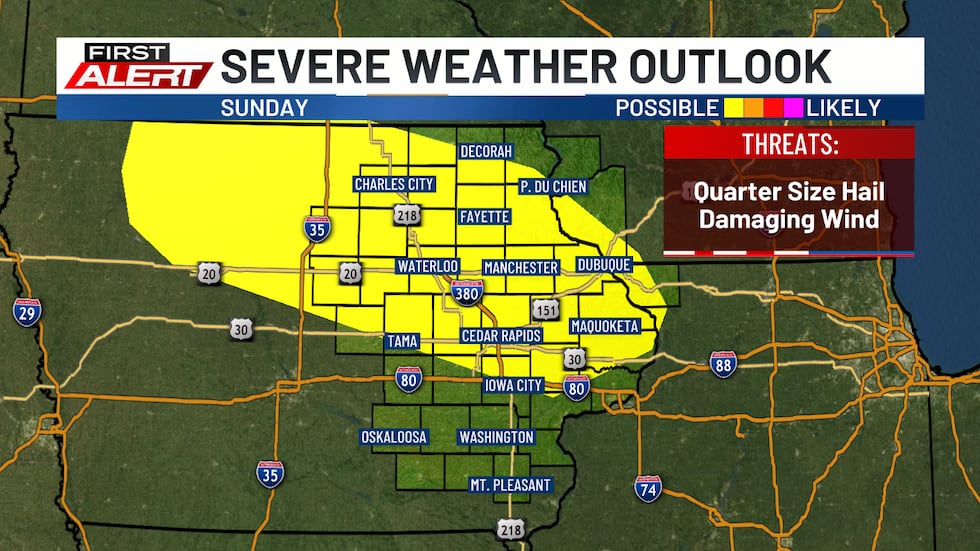
These storms bring isolated damaging winds and a quarter-sized hail threat.
By the early afternoon, the rain and cloud cover will move out. This will allow for temperatures to spike across southern Iowa. Highs today will be in the upper 80s and low 90s. Triple-digit feels-like temperatures are possible south of I-80.
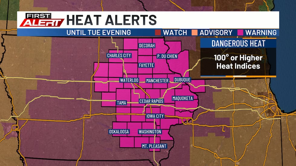
An Extreme Heat Warning goes into effect this afternoon and will continue through Tuesday evening. Make sure to drink plenty of water and avoid strenuous activity when possible.
Winds also pick up behind the storms to 20 to 30 mph. Temperatures will only fall to the mid 70s overnight.
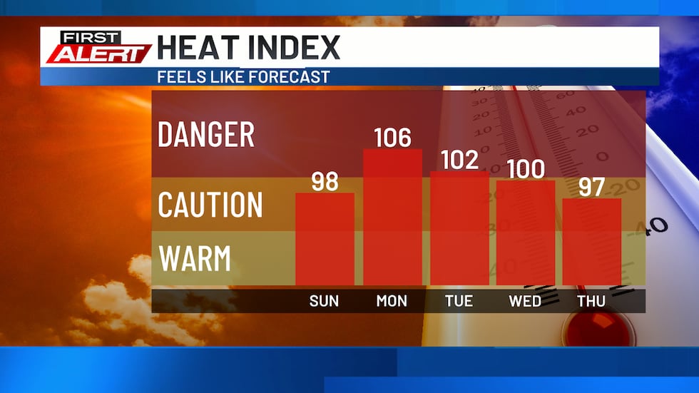
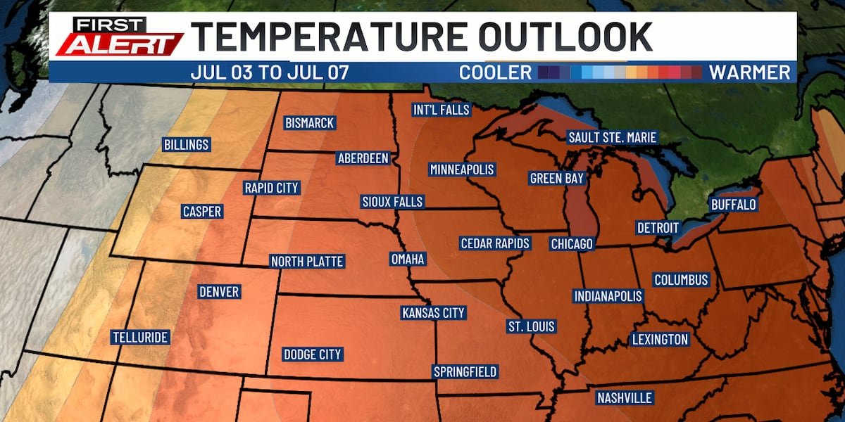
Monday will bring highs in the low to mid 90s with feels-like temperatures reaching the triple digits across all of eastern Iowa. Tuesday will look similar to Monday.
Winds will stay breezy into Tuesday before calming for Wednesday.
Highs will remain in the low to mid 90s through next weekend. Tuesday and through the weekend will bring storm chances.
Copyright 2026 KCRG. All rights reserved.