
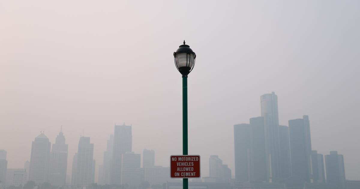
As wildfires rage across Canada and the American West, the announcement from federal forecasters that an El Niño warming is forming thousands of miles away in the tropical Pacific Ocean may offer some regions relief — next year, at least.
The El Niño climate pattern materializes erratically every two to seven years and can last up to a year. During its tenure, El Niño often brings wetter conditions to the Southern United States. While extra rain can bring flooding and landslide risks, it can also keep vegetation moist, lowering the potential for wildfires.
Forecasters with the National Oceanic and Atmospheric Administration, which announced in June that El Niño had arrived, predict this iteration will be “very strong,” bringing a greater promise of a wet winter.
Despite an active El Niño, experts say the Southwestern United States likely won’t feel its damping effect until next year. A recent study from NOAA researchers found that it’s El Niño’s wet fall, winter and spring seasons that often bring a notably milder wildfire season the following summer.

Meanwhile, the Western U.S. is still suffering the consequences of a hot winter and meager snowpack, in part thanks to El Niño’s polar-opposite sister, La Niña, which brought cool ocean water to South America’s Pacific coast and drier conditions to the Southern U.S. through early 2026.
“Unfortunately, the ‘helping effect’ of El Niño in much of the United States won’t be felt until sometime next year,” said NOAA Research Meteorologist Andrew Hoell, a study author. With the most recent La Niña just ending, “we’re still in the crosshairs.”

Hoell and his colleagues analyzed nearly four decades of El Niño and La Niña oscillations and wildfire burn areas to understand how often the fire season mirrors the climate cycle.
They found El Niño’s “helping effect” is far from guaranteed.
An indicator, not a crystal ball
For starters, the group looked at how the climate cycle influences the probability of wildfires burning significantly more land than normal — meaning even if El Niño reduces the odds of an active fire season, it does not bring those odds to zero.
The climate cycle is “providing us some early prognostics in terms of an outlook — better than having nothing,” said John Abatzoglou, a climatology professor at UC Merced who has independently studied the link between wilfires and El Niño. However, from those early outlooks, “things can change quite a bit. Things will change quite a bit.”
Hope for the South, less so for the North
While El Niño brings colder and wetter conditions to the Southern U.S., it typically generates drier and warmer weather up north. Similarly, while La Niña brings drier and hotter weather in the south, it can create wetter and colder conditions in the northern U.S.
El Niño forms when winds blowing over the Pacific, from the Americas toward Asia, die down, allowing warm tropic water pushed up against Asia to slosh toward the Americas. As that warm blob of ocean water hugs the coast of South America, it heats the air above, causing the pressure to drop.

Storms begin to form and a strengthened Pacific jet stream is pulled from Canada down over the Southern U.S. That jet stream acts as a giant conveyor belt, bringing storms and rain to the Southern U.S. — but that El Niño conveyor belt doesn’t typically reach northern states.
While the conveyor belt helps create a pretty clear link between El Niño and wildfire activity in the Southern U.S., the picture up north is hazier. Even though El Niño brings hotter and drier conditions to the north, researchers haven’t conclusively found it leads to larger or more frequent fires. While some studies have found that relationship, others — like the recent NOAA study — found the opposite.
Complex weather and ecology muddies the effect
The effects of the climate cycle on wildfires are muddied by countless other weather and ecological factors. Take Arizona and New Mexico for example — the NOAA study found they are often a summertime refuge of decreased wildfire activity following the hot and dry La Niña phase.
While pinning down the exact reason why these states buck the trend is difficult, Hoell hypothesized the region’s unique summer monsoon rains could alleviate the risk. Abatzoglou hypothesized the region’s link between wildfires and soil moisture could cause the mitigating effects of the preceding El Niño to linger longer.
Southern California, meanwhile, might not have to wait as long for relief. There’s a chance, experts noted, that this year’s El Niño could bring more fall rain, damping the Santa Ana winds’s ability to fuel fast-moving fires.