
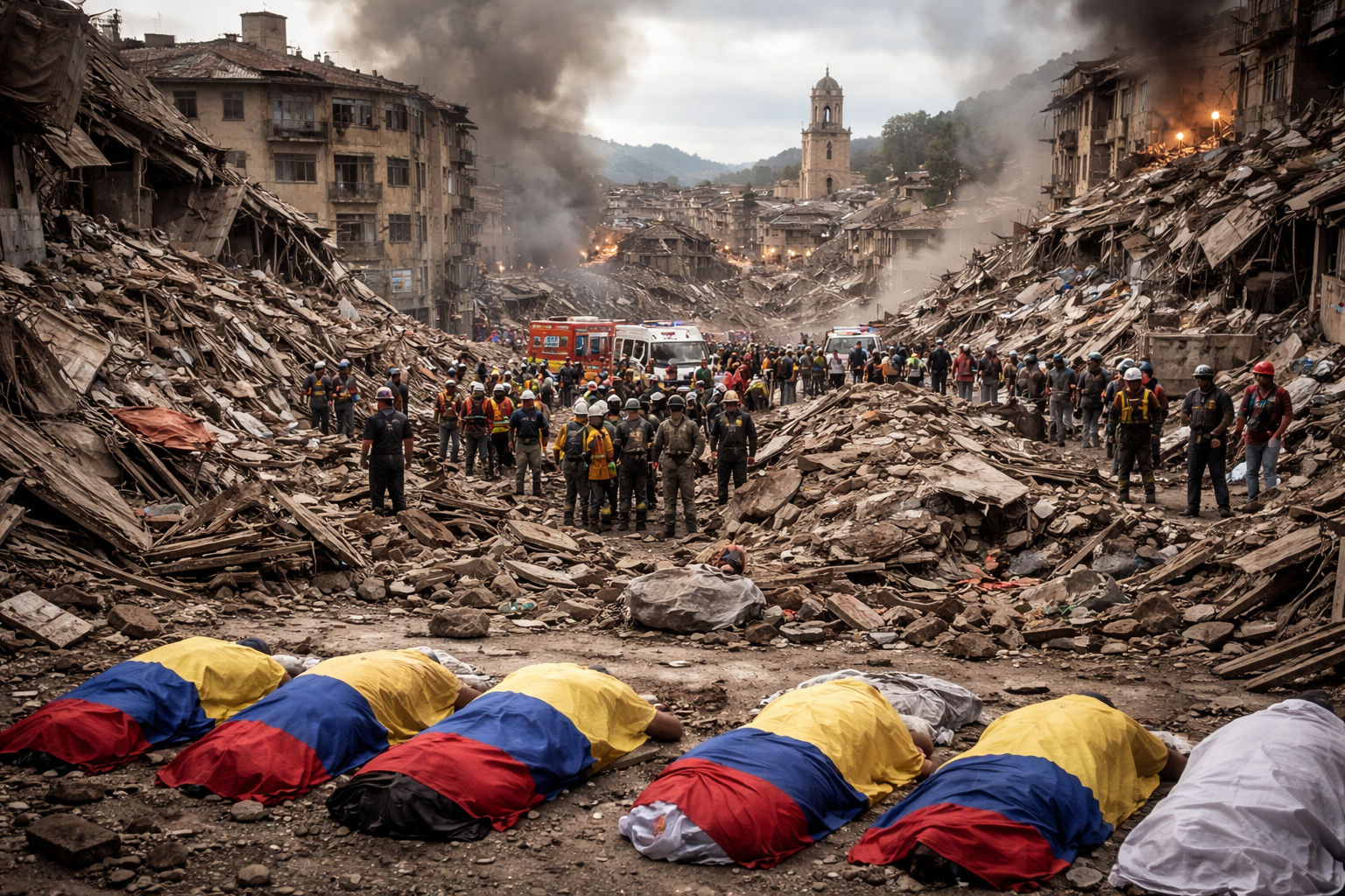
A powerful earthquake measuring 7.4 on the Richter scale struck Colombia’s Pacific coast in the Chocó province, resulting in at least 111 deaths and extensive damage to homes, public buildings, and infrastructure. The government declared a national state of emergency as rescue teams continue efforts to search for survivors amid collapsing structures.
Officials said the quake, with an epicenter near the Tatama National Nature Reserve, was felt across western Colombia and neighboring countries including Ecuador, Panama, and Venezuela. The tremors caused significant destruction in cities such as Cali, Pereira, and Manizales, where buildings have collapsed and people remain trapped.
Casualties and Damage Overview
As of just after noon local time, the death toll was reported at 111, with 87 injured. In total, 1,575 homes were damaged, 37 completely destroyed, and 61 buildings collapsed. Health facilities and schools were also affected, including damage to 18 health centers and 52 schools. The Chocó region where the quake’s epicenter was located reported 12 deaths and 84 injuries alone.
Multiple cities suffered fatalities: at least 27 in Valle del Cauca department, including Cali, which saw at least 20 collapsed buildings. Risaralda reported 40 deaths statewide, with 18 in its capital Pereira. In Manizales, two deaths were confirmed.
Government Response and International Support
Colombia’s newly inaugurated leader personally took charge of emergency response efforts, emphasizing the priority in locating and rescuing trapped residents. Support requests were sent to mayors from other major cities to provide additional rescue personnel. The European Union expressed readiness to provide assistance, with its Copernicus satellite service already mobilized to aid search and rescue teams. The United States government also stated it was monitoring the situation and stood ready to offer support.
Infrastructure and Transport Impact
The civil aviation authority reported structural damage at six regional airports, including Pereira, Manizales, Quibdó, Armenia, Cartago, Buenaventura, and later Cali’s airport. All flights at these airports were suspended pending safety assessments. The depth of the quake, approximately 107 kilometers underground, contributed to its wide reach but also reduced some surface impact intensity.
Geological Information and Aftershocks
The U.S. Geological Survey and Colombia’s national seismic authority both measured the main earthquake at magnitude 7.4 after initial discrepancies. The quake’s location placed it roughly equidistant from Colombia’s major cities Bogotá, Medellín, and Cali. Less than an hour later, a significant aftershock measuring magnitude 5.0 was recorded. The quake is linked to tectonic activity along the Pacific Ring of Fire, known for frequent seismic events.