
The good news: Widespread storms Saturday will thin out that Canadian wildfire smoke choking the tri-state.
The bad news: Severe weather is expected for a swath of the tri-state.
A vigorous storm system developing Saturday will impact much of the northeastern U.S., and bring strong-to-severe thunderstorms to the New York City metro area from late morning through the afternoon and evening.
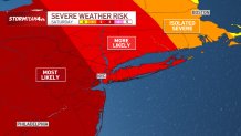
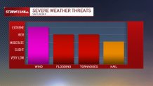
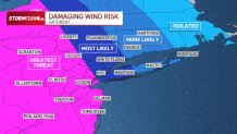
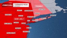
Overall, in terms of severe weather risk, the National Weather Service puts much of the tri-state at a level 3 on a scale of 5. Multiple threats are on the table, including damaging straight-line wind, flash flooding, isolated tornadoes and hail.
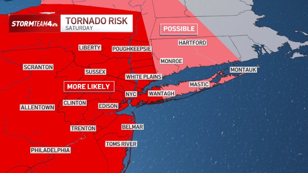
The strongest thunderstorms are projected to impact the Poconos, Catskills and New Jersey. This zone is where the greatest risk for damaging straight-line wind and tornadoes will be.
The risk diminishes, though doesn’t evaporate, farther east.
There will be ample atmospheric moisture to fuel heavy downpours in some of the strongest storms.
This could lead to flash flooding. The region most at risk of flooding will be North/Central New Jersey through Metro New York City, Long Island, and coastal Connecticut.
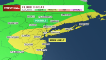
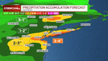
Upwards of 3 to 4 inches of rain is possible from Saturday’s storms. Isolated higher amounts aren’t out of the question.
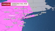
Finally, hail is possible Saturday, too. The region most at risk for hail will be Central and South Jersey.