

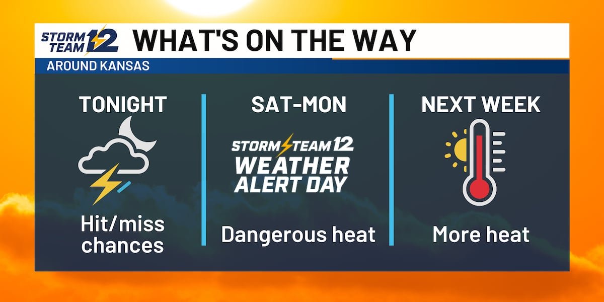
Key takeaways for the next few days:
- Most of the overnight storms will be across the southern half of the state.
- Some heavy downpours are coming, but it won’t be as widespread
- Building heat for the weekend with heat indices above 105
- Drier weather for much of the region
Saturday – Some very early morning storms are a possibility over southern Kansas right around daybreak, but they will exit quickly. Much of the area should return to sunshine for the afternoon with increasing south winds.
Sunday – Heat is the main focus of the weekend and a Storm Team 12 Weather Alert as feels like temperatures get to near 105. Stronger south winds are likely to gust above 30 mph throughout much of the state.
Monday – Dangerous heat likely to continue with a steady south wind for most of the area.
Wichita Area Forecast:
Tonight: Late night scattered storms. Wind: SE 5-15. Low: 70.
Tomorrow: Early AM storms, then partly cloudy. Wind: SE/S 10-25; gusty. High: 90.
Tomorrow night: Mostly cloudy and breezy. Wind: S 10-20; gusty. Low: 76.
Sun: High: 93 Mostly sunny; windy.
Mon: High: 94 Low: 77 Mostly sunny; windy.
Tue: High: 94 Low: 79 Mostly sunny; breezy.
Wed: High: 93 Low: 78 Becoming partly cloudy.
Thu: High: 93 Low: 78 Partly cloudy.
Fri: High: 94 Low: 76 Mostly sunny
Copyright 2026 KWCH. All rights reserved. To report a correction or typo, please email news@kwch.com