

What to Know
- Severe thunderstorms are forecast today. In the morning, storms will be more isolated. From midday through evening, they’re expected to be more potent and damaging.
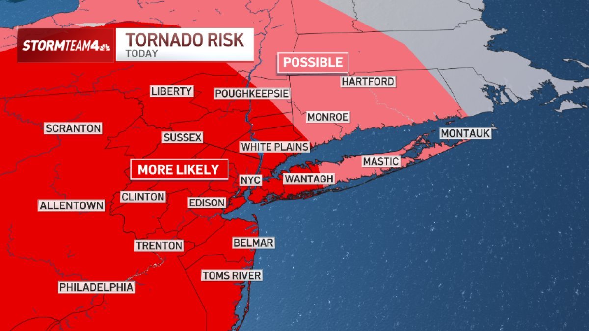
- The greatest threats are damaging straight-line wind (gusts 58+ mph) and isolated flash flooding. Hail and isolated, quick, spin-up tornadoes are secondary threats.
- The storm threat will last most of the day, but rain won’t fall all day. Expect two waves of stormy weather, one around lunchtime and one around dinner time.
- Storms will be strongest west of NYC; that’s where we see the greatest hail and tornado threat. They’ll weaken somewhat as they move east, but the risks are there.
- Central and South Jersey face the highest risk of flash flooding, although the entire tri-state is under a moderate risk. These storms will be faster-moving than Saturday’s.
Severe weather is expected to hammer the tri-state again Tuesday, days after powerful thunderstorms ravaged the region with flash floods and triggered tornado alerts.
Like Saturday, multiple threats — flash flooding, isolated tornadoes, damaging wind, and hail — are on the table. Track the latest weather developments below.
See More: https://www.ubirataonline.com.br