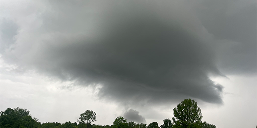

A regional tornado outbreak is unfolding across the Midwest Sunday evening. More than three dozen tornado reports have been logged by the Storm Prediction Center as a cluster of supercell thunderstorms tracks east toward the Ohio Valley.
This comes on the heels of another round of tornadoes just four days earlier that leveled buildings and caused widespread destruction across the region. The previous week’s storms also turned deadly as repeated bouts of severe weather swept across the central US, killing multiple people across several states.
At least two people were killed Sunday in rural Jefferson County, Illinois, around 90 miles southeast of St. Louis, according to county Sheriff Jeff Bullard.
Both victims died in separate mobile homes that were destroyed about two to three miles apart, Bullard said.
A third home was completely leveled and five other people were taken to a hospital with non-life-threatening injuries, Bullard said.
The storms damaged at least 20 homes in the county, Deputy Emergency Management Coordinator Keith Hertenstein said. Trees and power lines were knocked down, leaving some residents without electricity.

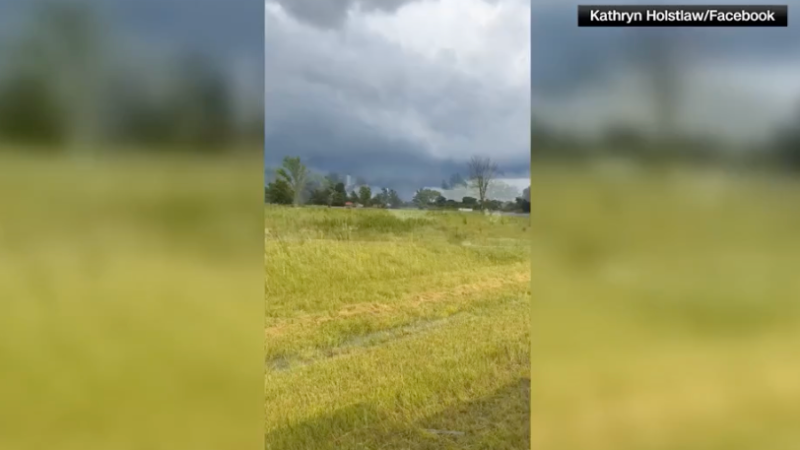
Tornado sighted in Dix, Illinois, as severe storms sweep across the Midwest.

Tornadoes also tore through southern Indiana, where several homes were “completely obliterated,” Gibson County Sheriff Bruce Vanoven said. The storm caused damage across multiple communities in the area before moving east.
No injuries had been reported as of Sunday evening. Vanoven urged residents to stay home as crews worked the active scene, warning that downed power lines and debris would be harder to see after dark.
The storm tore through a retirement community in neighboring Warrick County, Sheriff Mike Wilder told CNN. Two roofs collapsed at the Park Place Apartments, trapping a woman who had to be rescued by emergency officials, Wilder said. The woman and two others suffered minor injuries but refused treatment at the scene.
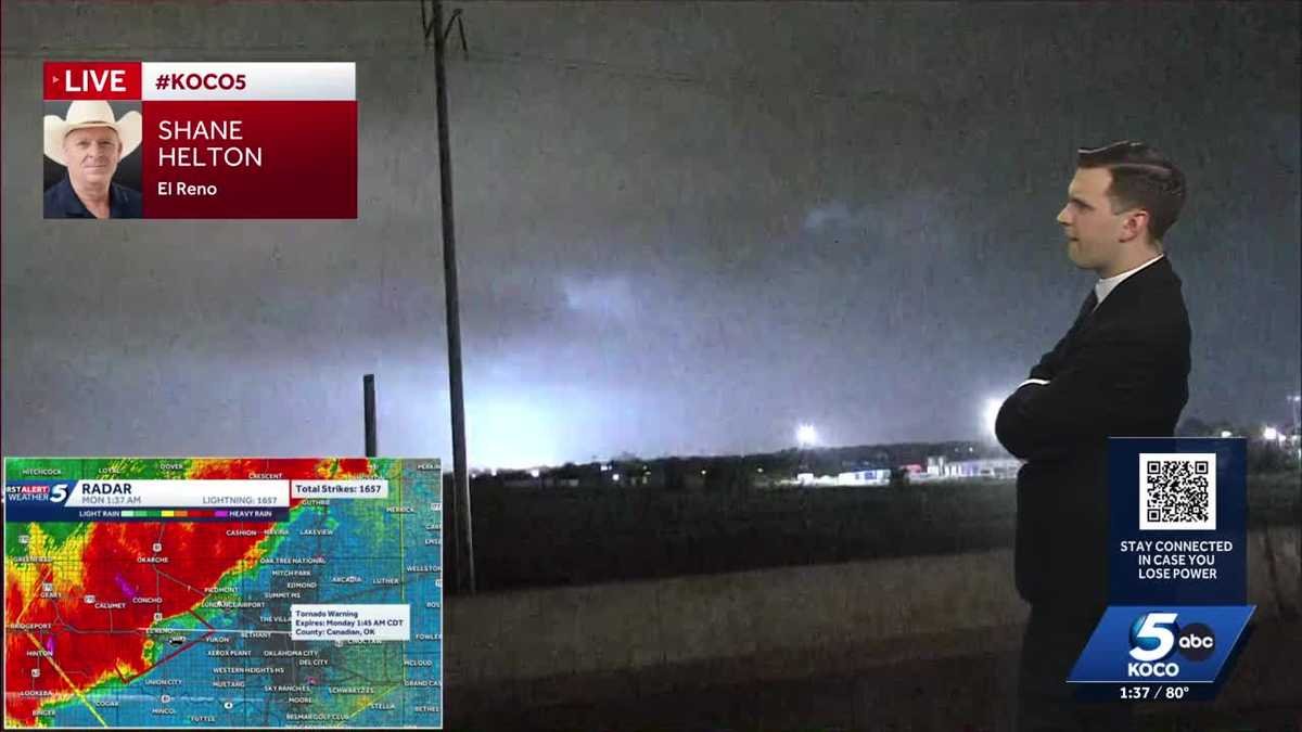
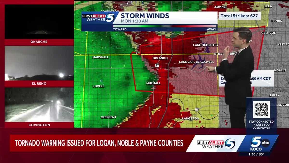
Farther west, a nasty line of thunderstorms from the same system raked through western Oklahoma just after midnight CT Monday morning. Wind gusts topped 80 mph, and the National Weather Service in Norman warned, “This is a life threatening situation with tornado-like wind speeds.”
Sunday’s storms erupted along frontal boundaries left behind by morning thunderstorms. As heat and humidity returned during the afternoon, the atmosphere rapidly recharged and thunderstorms evolved into rotating supercells capable of producing tornadoes, large hail and damaging winds.
Heavy rain poses an additional threat Sunday night into Monday as a Level 3 of 4 risk of flooding rain is in place for parts of the Central Plains, middle Mississippi Valley and Ohio Valley. Repeated rounds of storms over the past two weeks have left streams running high and made flash flooding easier to trigger in these areas.
The same storm system is expected to push into the mid-Atlantic and Appalachian regions Monday, bringing a Level 2 of 5 risk of severe thunderstorms. The main threat Monday will be damaging wind gusts, but a tornado or two are not out of the question.
This is a developing story and will be updated.