
Get ready for some severe thunderstorms this afternoon. Also, be prepared for some much colder air over the weekend.
*** A SEVERE THUNDERSTOM WATCH until 5 PM for areas north and west of Marathon county.
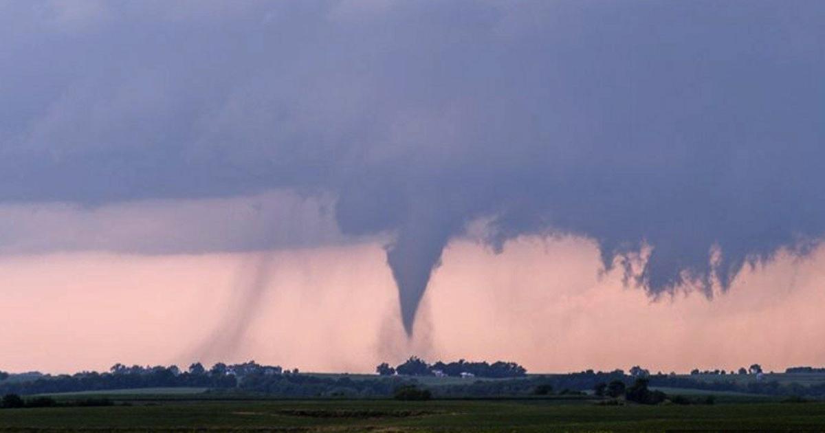
*** A TORNADO WATCH until 8 PM for areas near Marathon county and further south.
This Evening: Cloudy skies, blustery, and warm with severe thunderstorms likely.
High: Mid/Upper 70s Wind: South-Southeast 15-30
Tonight: A few showers and storms early in the evening, then decreasing clouds, breezy, and turning much colder.
Low: 34 Wind: NW 10-20
Saturday: Windy and cold with a mix of sun and clouds.
High: 42 Wind: West-Northwest 15-30
Saturday Night: Scattered clouds and cold
Low: 27
Sunday: Partly cloudy early with a few flurries south of Marathon County, then mostly sunny during the afternoon. Still a bit breezy.
High: 43
Thunderstorms will be developing around mid afternoon with a high likelyhoodof severe weather. There might be a tornado or two around the area, as well as hail and damaging wind. A couple of the storms might produce heavy downpours, which could exacerbate ongoing flooding. Therefore, a FLOOD WATCH has been issued for Juneau, Adams, Waushara, Waupaca, Wood, Portage, Marathon, Shawano, Menominee, Langlade, Forest, and Florence counties effective from this afternoon through 7 am Saturday morning.
A strong cold front will sweep across our area tonight, and it will usher in some cold air for the weekend. We will have a mix of sun and clouds on Saturday with highs in the upper 30s to low 40s. You will need a warm jacket as there will be a blustery northwest wind. The wind will be a little less on Sunday, but it will still be cool with highs in the low to mid 40s.
The weather will remain dry early next week as things warm up again. We should have a fair amount of sun on Monday with highs in the 50s. On Tuesday, it will warm up into the upper 60s. Highs will be in the 60s again on Wednesday. The next chance of significant rain might hold off until Thursday night and into Friday.
Have a fine Friday, Morning Update, 17 – April 2026
On this date in weather history: 1922 — A family of at least six tornadoes caused death and destruction along parts of a 210 mile path from north of Ogden IL to Allen County OH, killing sixteen persons. A post card, picked up in Madison County IN, was found 124 miles away near Mount Cory OH. (The Weather Channel)