

What to Know
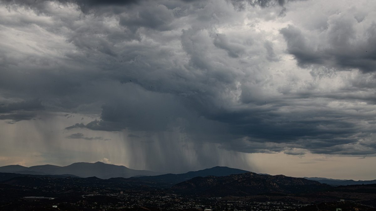
- The remnants of Mario brought heavy bursts of rain and lightning to the mountains and deserts on Wednesday.
- A flood watch continues for the mountains and deserts until 2 a.m. Friday. Expect to see bands of thunderstorms over the same areas, the NWS said.
- There will be gradual drying and warming for Friday and Saturday.
Moisture from the remnants of Tropical Storm Mario will peak on Thursday, and then decrease into the weekend, the National Weather Service said.
As the system moves north, mountains and deserts will see heavier rainfall from late morning through early evening.
A flood watch continues for the mountains and deserts until 2 a.m. Friday. Expect to see bands of thunderstorms over the same areas, the NWS said.
The remnants of Mario brought heavy bursts of rain and lightning to the mountains and deserts on Wednesday.
One such thunderstorm was picked up on Doppler radar around 1:30 p.m. over the deserts, then around 2:10 p.m., moving west over the mountains, meteorologist Greg Bledsoe said.
There will be decreasing chances of showers and thunderstorms from late Thursday through Friday, with the activity limited to the mountains and deserts on Friday afternoon, according to the NWS.
Mario became a tropical storm again on Monday after it weakened into a tropical depression last Friday. Mario will continue to weaken as it moves over cooler waters heading up near Baja California, the National Hurricane Center in Miami said.
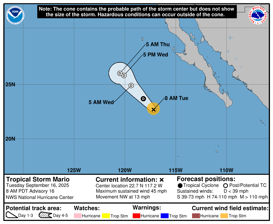
Friday will be mostly dry with still a slight chance for a shower or thunderstorm. Meteorologist Sheena Parveen says computer models are showing more tropical moisture impacting our area by the end of the weekend and early next week.
Thursday temperatures:
- Coast: showers likely – 78
- Inland: showers likely – 88
- Mountains: FLOOD WATCH – 77
- Deserts: FLOOD WATCH – 95